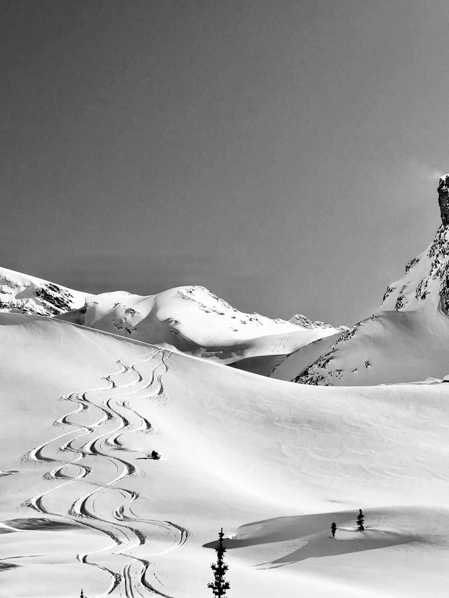
Rogers Pass Backcountry Conditions Report March 20, 2023
 Rogers Pass Backcountry Conditions Report March 20, 2023
Current Snowpack Synopsis
Another great week of backcountry travel! Early in the week, 48 cm of storm snow fell on top of the March 11th interface, SH/FC and MFcr on steep solar aspects. This provoked a natural avalanche cycle during the storm. Subsequently, this storm snow has settled and is riding really well on north aspects.
That said, the November facets aren’t gone yet. There was evidence of natural avalanches stepping down to them in bigger terrain, such as Ross Peak and a cornice fall southeast of Parsons Peak. They also have continued to produce large destructive avalanches in the areas surrounding Rogers Pass with large loads and explosive inputs.
Mt Fidelity’s weather station at 1905m is now reading 253cm for a height of snow. According to the Mt Fidelity weather station, 48cm of storm snow has fallen with 56cm of settlement in the height of snow in the past week.
Coverage on the glaciers ranges from less than a meter in typically thin areas to over three meters in more sheltered areas. Crevasses are looking relatively well bridged, however the coverage resembles a lower snowpack year, as opposed to what things have looked like in the past few seasons. There are still some gaping holes and vigilance is required while travelling in glaciated terrain.
The ridges continue to look thin and faceted. Steep rocky features are also looking thinner than normal. The Thorington route, for example, has significantly more exposed rock than typical snowpack years.
Currently the storm snow continues to settle and clear overnight skies are promoting surface faceting/surface hoar growth (up to 10mm). Solar input and day time warming are creating melt freeze crusts on all solar aspects up to 3000m. The mid-pack is gaining strength and rounding.
However the November facets are still prominent at the base of the snowpack. The facets are showing signs of rounding, but there is still a considerable step in resistance between them and the overlying snow. The November facets are more pronounced in shallow rocky areas.
What’s been riding well
Over the past week there has been exceptional alpine riding paired with good stability. Lot’s of big lines were ridden and backcountry travellers took advantage of the fantastic travel conditions. Look to find nicely settled alpine powder on North and Northeast aspects.
With the arrival of clear skies, sheltered alpine features and sheltered areas at tree line are riding best. With the warm temperatures, north aspects are becoming moist up to 1600m. Steep solar aspects below 3000m ESE-W had a melt freeze crust up to 2cm thick.

Recent Avalanche Activity
Over the course of the week, storm slab activity has tapered and loose wet avalanches to size three has increased. There have been evidence of some medium sized cornice falls, some of which have triggered deep persistent slabs on high alpine features.
Minimize your exposure to cornices, they are big and have faceted roots; the moderate winds, warm temperatures and new snow will have added mass to cornices. They will be sensitive, particularly the solar input that will follow this storm cycle. Natural cornice failures have been observed in Rogers Pass and surrounding areas.
Heads up for daytime warming and solar input.

Incoming weather and avalanche forecast
A shift towards spring. Diurnal temperature fluctuations and significant solar input. A dominant ridge of high pressure is sitting over the region and doesn’t appear to be moving any time soon.
Avalanche Canada Mountain Weather Forecast
Avalanche Canada Public Avalanche Forecast
Snowpack Concerns
Cornices: Minimize your exposure to cornices, they are big and have faceted roots. Cornices have grown significantly in recent weeks and there have been numerous natural cornice failures that have resulted in avalanches up to size 3 in, or around Rogers Pass. Give them respect and a wide birth when you are travelling under them. Be cautious of solar input.
Wet Loose: The sun packs a punch this time of year, steep solar aspects will become active when the sun comes out.
Deep Persistent Slabs: The November facets are still very much a concern across the backcountry ski / snowboard industry in the Columbia Mountains. This past week exhibited continued natural avalanche activity failing on the November facets. They will need a bit of time to adjust to the new load that has been applied to them.
Be aware of overhead hazard.
The November facets are more pronounced in shallow, rocky features. Professionals are still maintaining a conservative mindset with this low probability/ high consequence avalanche problem.
Trip Announcement
Check out our South American ski and splitboard program

Access Concerns
Disclaimer
Backcountry skiing and splitboarding are inherently dangerous activities. Decisions made about terrain in which you may choose to travel should be based on real time data you’ve collected firsthand, not on this report. Conditions in the mountains change rapidly, please be aware that things will probably have changed since this report was written.


