Rogers Pass Backcountry Conditions Report March 30, 2023

Rogers Pass Backcountry Conditions Report March 30, 2023
This is our last report of the season, we’re heading out on our spring ski/splitboard program at backcountry lodges and basecamps for the month of April. Thanks for your readership, we hope this has helped you in some capacity. We’ll resume reports in late November/ early December.
Current Snowpack Synopsis
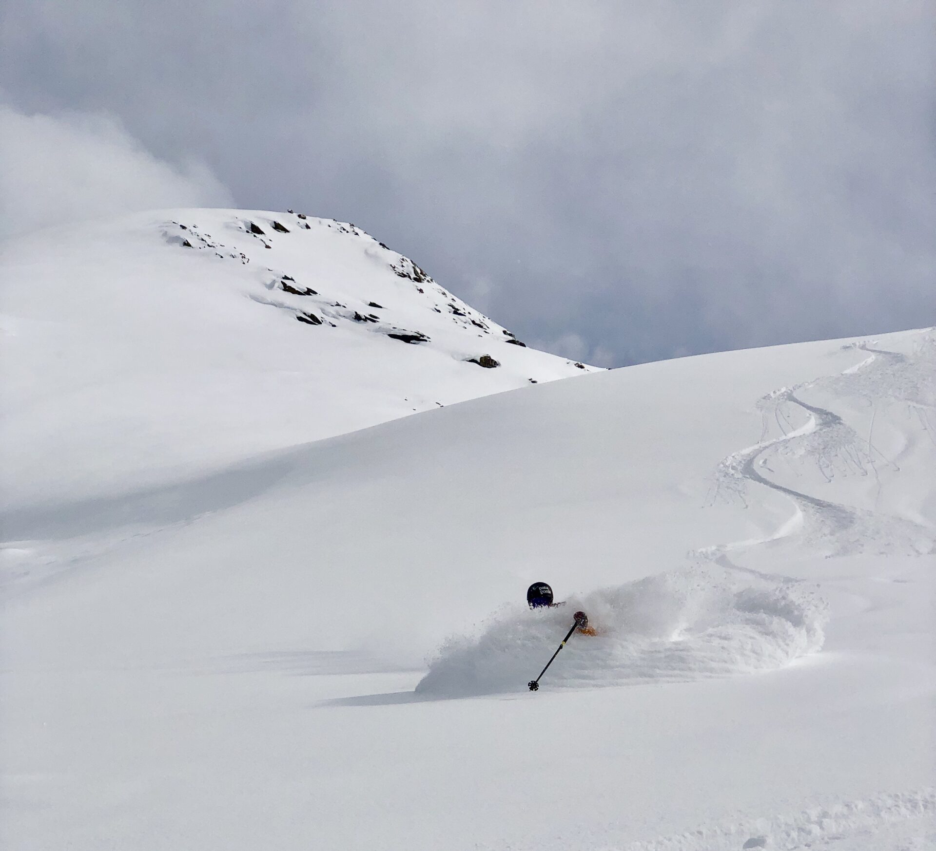
Let’s hope for a reset. March has been dry, really dry. The clear skies and moderate temperatures have yielded some excellent backcountry travel conditions. A quick looks around Roger Pass will show it too; there are tracks everywhere. Sheltered north aspects are still holding aged powder and are riding really well. However, if you’re looking for fresh lines, you really have to dig deep in the nooks and crannies, as all the low hanging fruit has been picked.
The November facets remain a snowpack concern and have produced large avalanches in specific features in the region. Currently, the are a low probability high consequence concern. Moving forward, keep an eye out for large precipitation values and periods of intense daytime warming. One of these events or a large cornice failure could wake them up and produce more large destructive avalanches. Mt Fidelity’s weather station at 1905m is now reading 237cm for a height of snow. The recent storm snow has settled to 10-15cm of preserved powder on sheltered north aspects.
Coverage on the glaciers ranges from less than a meter in typically thin areas to over three meters in more sheltered areas. Crevasses are looking relatively well bridged, however the coverage resembles a lower snowpack year, as opposed to what things have looked like in the past few seasons. There are still some gaping holes and bridges have started to sag with the moderate temperatures. Continued vigilance is required while travelling in glaciated terrain.
We’ve just had a more than a week of relatively clear skies. During that time there was significant surface faceting, wind effect, crust development on solar aspects and surface hoar growth in isolated sheltered north aspect features. The November facets are still prominent at the base of the snowpack. The facets are showing signs of rounding, but there is still a considerable step in resistance between them and the overlying snow. The November facets are more pronounced in shallow rocky areas.

What’s been riding well
Over the past week there has been exceptional alpine riding paired with good stability. Lot’s of big lines were ridden and backcountry travellers took advantage of the fantastic travel conditions. With the arrival of clear skies, sheltered alpine features and sheltered areas at tree line and below have been the place to be. In exposed areas, there was significant wind effect from variable winds. Steep solar aspects to mountain top (ESE-W) have a melt freeze crust.

Recent Avalanche Activity
Currently, the avalanche hazard in Rogers Pass is rated at low. There have been numerous solar induced avalanches and cornice failures recently. Glide slab avalanches have also occurred recently.

Incoming weather and avalanche forecast
Spring has arrived. There is a small incoming system that should arrive tomorrow. Look for some new snow on the horizon followed be spring convective activity next week.
Avalanche Canada Mountain Weather ForecastAvalanche Canada Public Avalanche Forecast
Snowpack Concerns
Cornices: Minimize your exposure to cornices, they are big and have faceted roots. Give them respect and a wide birth when you are travelling under them. Be cautious of solar input. Storm slabs: Storm slabs will form in immediate lee features if precipitation rates and wind values are sufficient in the incoming storm. The bi d between the new snow and the substrates will be poor after the storm passes. Exercise caution in immediate lee features. Dry/ Wet Loose Dry/Wet Watch out for sluffing in terrain over 35 degrees with the new storm snow. The sun packs a punch this time of year, steep solar aspects will become active when the sun comes out. Deep Persistent Slabs: The November facets are still very much a concern across the backcountry ski / snowboard industry in the Columbia Mountains. This past week exhibited continued natural avalanche activity failing on the November facets. They will need a bit of time to adjust to the new load that has been applied to them. Be aware of overhead hazard. The November facets are more pronounced in shallow, rocky features. Professionals are still maintaining a conservative mindset with this low probability/ high consequence avalanche problem.

Access Concerns
Please take a moment to help educate fellow backcountry enthusiasts who may not know about the Rogers Pass Winter Permit System and the Winter Restricted areas. Or if you’re planning on coming to Rogers Pass, please take a moment to educate yourself about the Rogers Pass Winter Permit System and the Winter Restricted areas.
Our continued access to great skiing and riding depends on visitor compliance. These areas have been closed to backcountry users before and they could be again.
If a fellow backcountry enthusiast tries to explain the Rogers Pass Winter Permit System and the Winter Restricted areas to you in the field, and perhaps informs you that you are in, or about to enter a Winter Restricted Area, please do us all a favour and kindly listen to them….They aren’t “gatekeeping”, rather they are trying to keep you safe and maintain our collective access to exceptional backcountry skiing and splitboarding.
Please, let’s work together to maintain this privilege through compliance and education.
Disclaimer
Backcountry skiing and splitboarding are inherently dangerous activities. Decisions made about terrain in which you may choose to travel should be based on real time data you’ve collected firsthand, not on this report. Conditions in the mountains change rapidly, please be aware that things will probably have changed since this report was written.


