
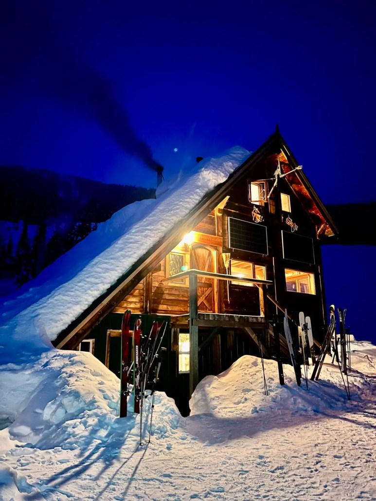
Burnie Glacier Chalet Jan 19-Feb 2, 2024

In just over two weeks, we saw a severe rise in temperatures from -30 to +7 in the valley bottom where the Burnie Glacier Chalet sits. When we arrived on January 19, it was -14 degrees and there had been 15cm of recent snowfall. 15-20cm of facets overlay a melt freeze crust up to 1400m. Above 1400m 40cm of progressively resistant snow comprised the upper snowpack in sheltered areas. In the alpine, 20cm of facets had been redistributed by southerly flow, but provided soft skiing.
Over the course of the first week, the temperatures gradually increased along with incremental precipitation (HST totalled 25cm.). This provided great skiing on all aspects down to 1000m.


HS on the glaciers ranged from 2m to 2.5m and was progressively resistant. At the lodge elevation ~1000m HS was 130cm by the end of the first week. The mid-January facets were warm and were starting to round. Hazard remained moderate to low for the entire week and only small avalanches were observed in immediate lee features (up to size 1). We observed one size two storm slab that was triggered by a sérac fall on an east aspect at 1800m on January 22.


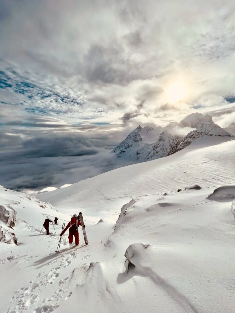
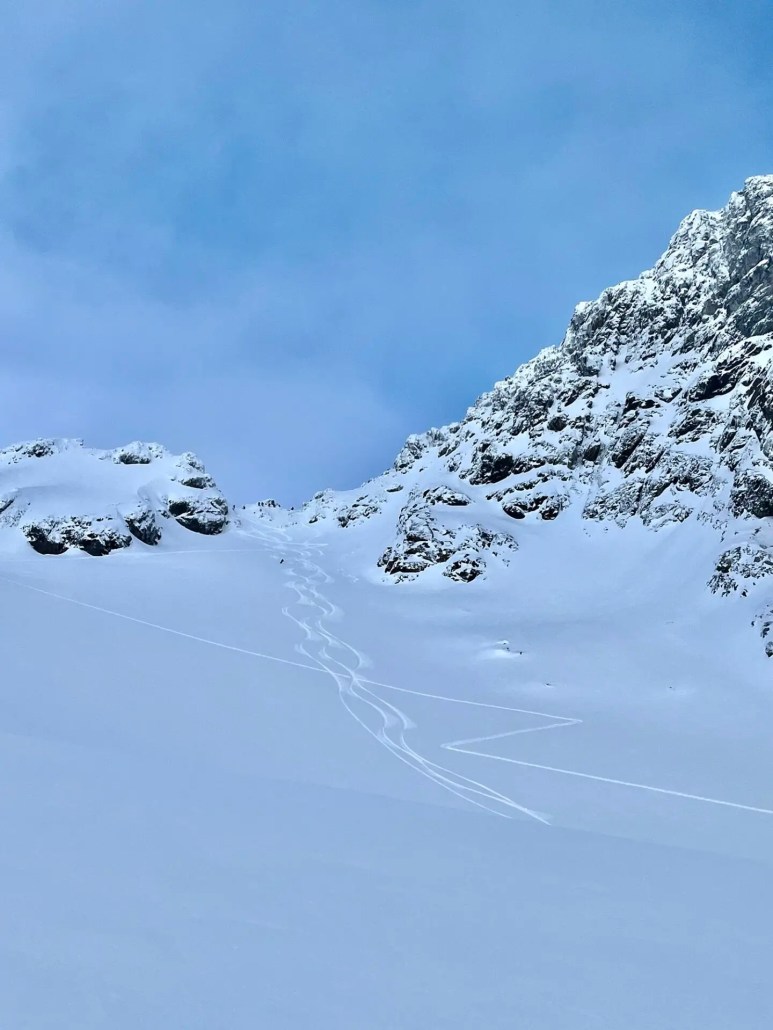
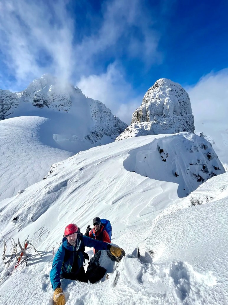
We found great skiing in the Solitaire group, off of Loft Peak and on Tom George Mountain. The typical weather was unsettled and the skies were broken for the entire week. Which occasionally made for some whiteout conditions. The unsettled weather didn’t provide the visibility to make an attempt on the Burnie Step, one of the classic tours that surmounts the Burnie Glacier Icefall and crosses through a high col west of Polemic Peak. Overall, the coverage on the glaciers still seemed a bit thin—there were lots of open crevasses and the icefalls were not filled in.


By January 26, the weather had started to take a turn for the warmer side of seasonal norms. Gradually the freezing levels crept up to 2000m and were accompanied by light to moderate precipitation.


We had one down day on the 29th in order to limit exposure to a widespread natural avalanche cycle to size three in the tenure. We made the most of the sunny skies and warm temperatures by offering our guests a morning crevasse rescue course and an afternoon advance transceiver search technique lesson.


After the peak of the cycle, warm temperatures and rain to 1200-1400m rendered the lower elevation snowpack into an isothermal state with marginal overnight recovery. However above 1500m, ski quality remained good all week. With the sustain warm temperatures there was notable settlement in the snowpack at all elevations and crevasse bridges had begun to sag.
When the light was good we were able to capitalize on some excellent alpine travel and ski some of the classic lines in the Solitaire group and Tom George Mountain.


By February 2nd, up to 50cm of warm HST was bonding well to the underlying snow in the alpine. This snow was accompanied by moderate to extreme southerly winds. The January 31 MFcr was present to 2000m however the overlying storm snow appeared to be bonding well to it where it remained dry. We observed numerous sz 1 skier controlled loose wet avalanches on the crust or in the isothermal upper pack at treeline and below.
There was a natural avalanche cycle on all aspects and elevations during the peak of the warming and wind loading (cornice failures, storm slabs, wet loose and wet slabs). Natural avalanche activity had tapered by February 2.
The valley bottom snowpack was isothermal and there was minimal overnight recovery due to the continued precipitation and warm temperatures. Creeks and glide cracks were opening up.


It was certainly an atypical week for late January/early February; however the Howson Range seemed to fair better than most places in BC. Thankfully, we were able to run a reasonable and safe ski program. For the most part, the ski quality was good.
Here is a look at the gear I use for these trips.
If you’re looking for skis this trip, check out WNDR Alpine. This code will get you 20% off FF20-CONORH
Folkrm poles will give you 20% off with this code ARCTOS20
Raide Packs will give you $50 a pack with this code arctos-50-off
Norrona will give you 5% off with this code PROCONORH
If you’re interested in joining a trip, or would like to know more about what we offer, send us an email or check out our Backcountry Lodge Trips
Weather and snow reportsWeather and snow reports
Leave a Reply
Want to join the discussion?Feel free to contribute!