Trips
Destinations
Courses
About
Trip Planning Resources
Journal
Kit
Contact
Journal
Select Journal Category
Trip Reports
Conditions
Gear Reviews
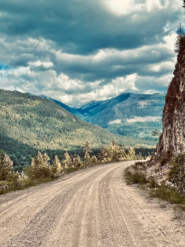
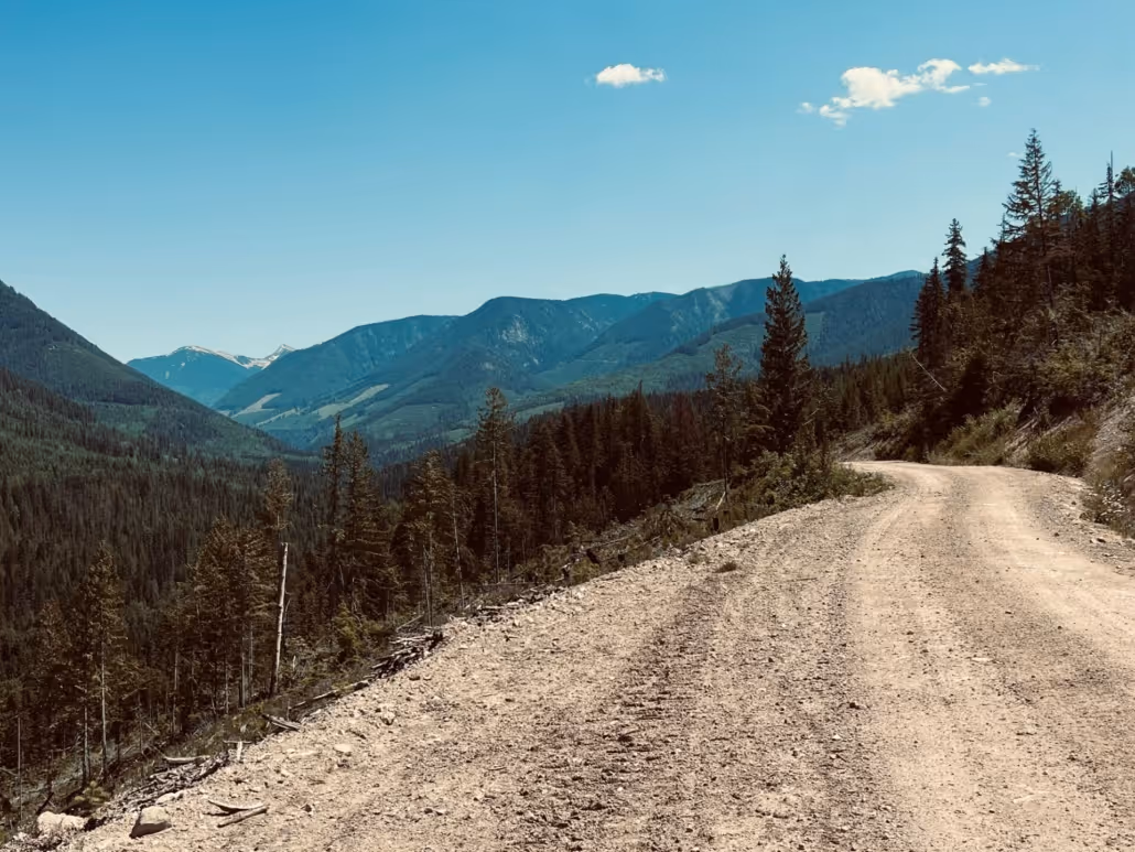
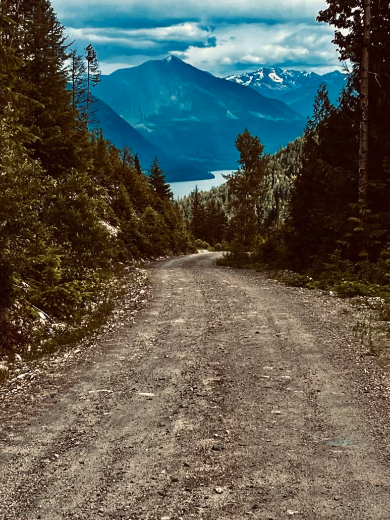
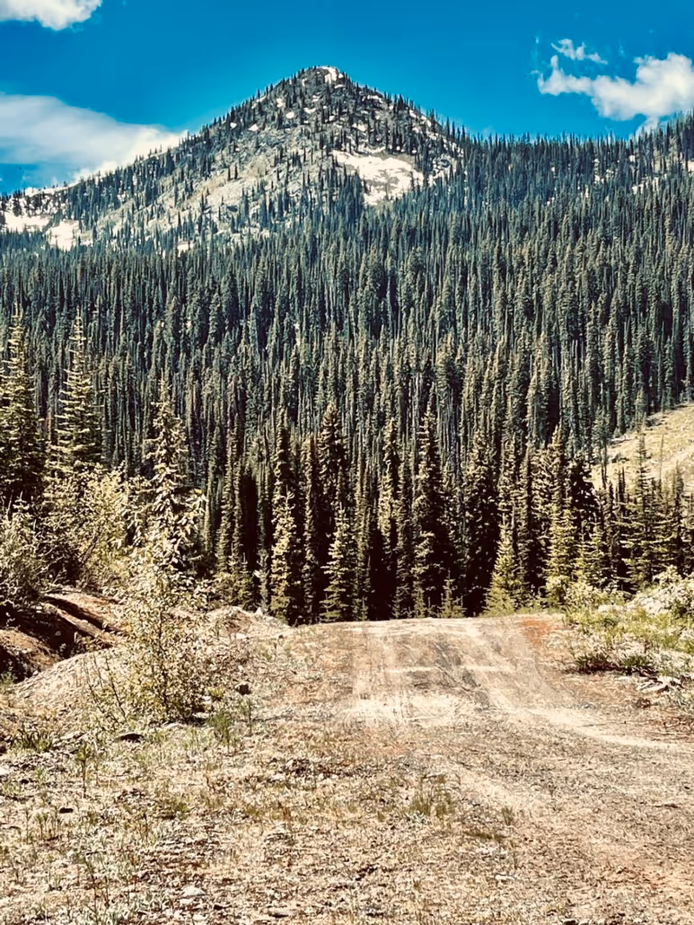
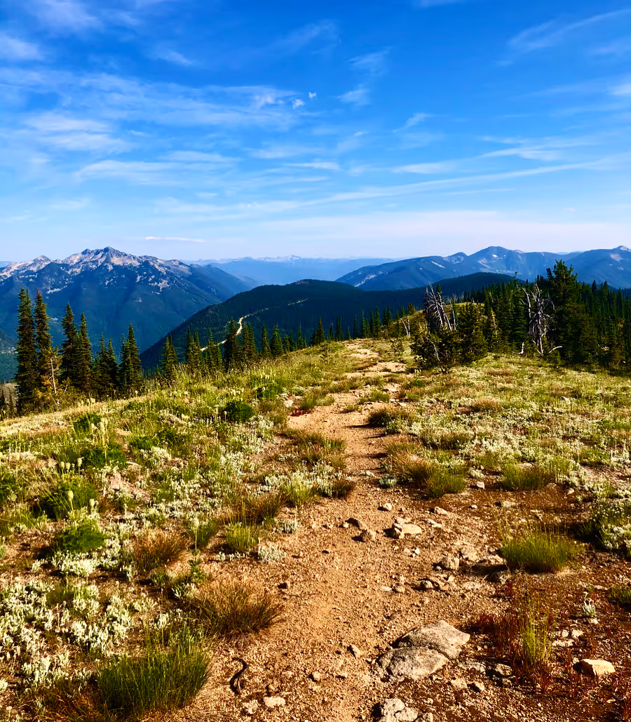
Kootenay Gravel Routes
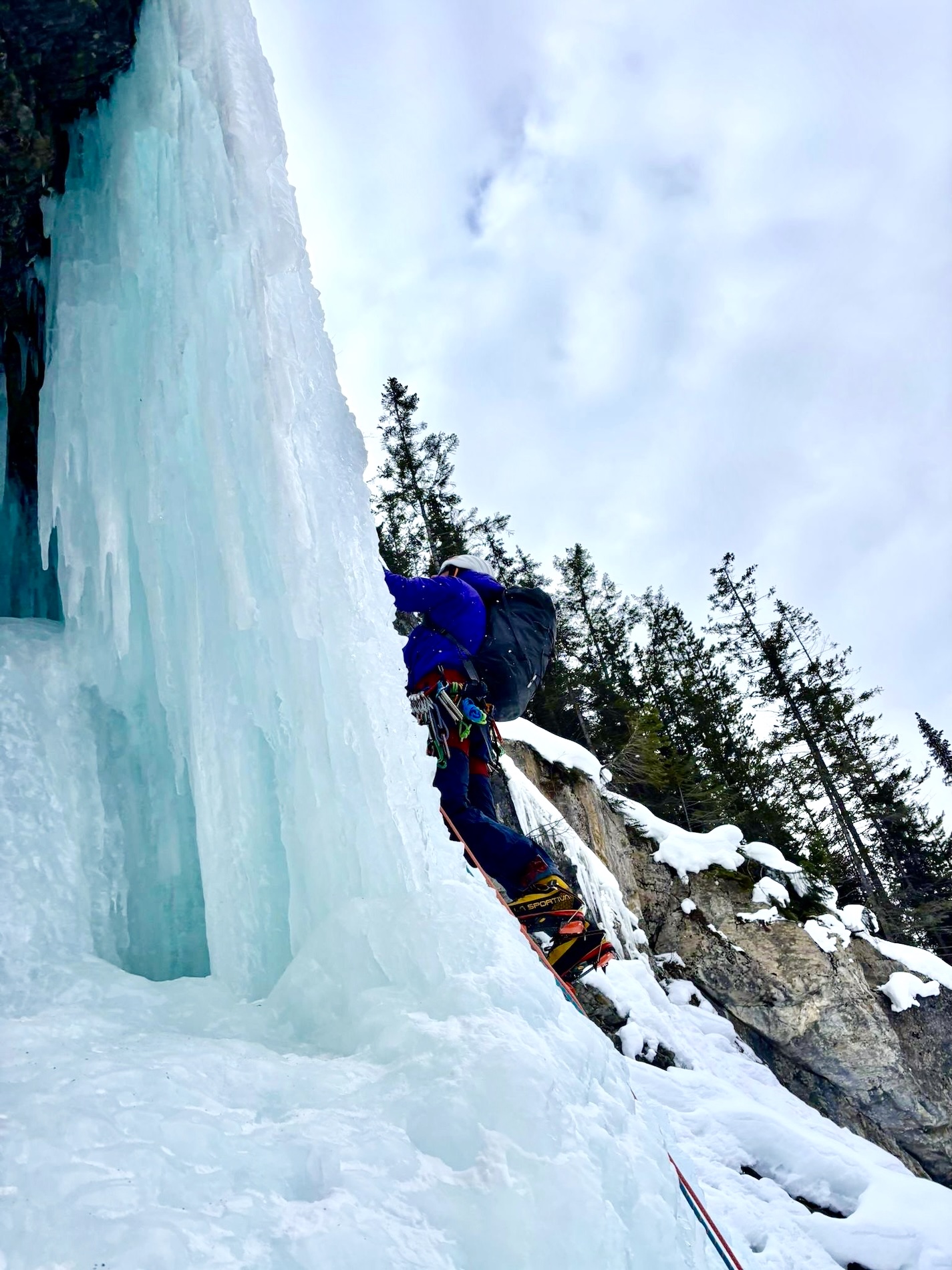
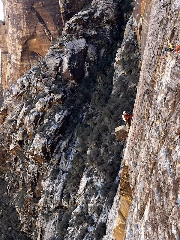
Beta
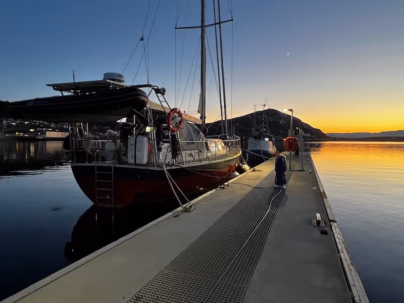
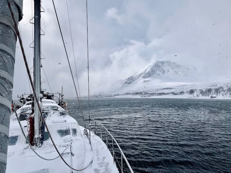
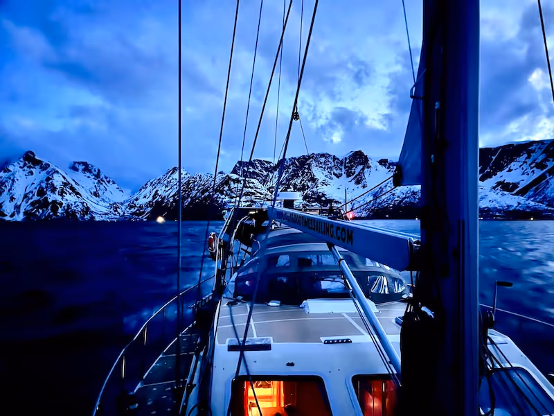
Finnmark Ski and Sail Trip, Norway
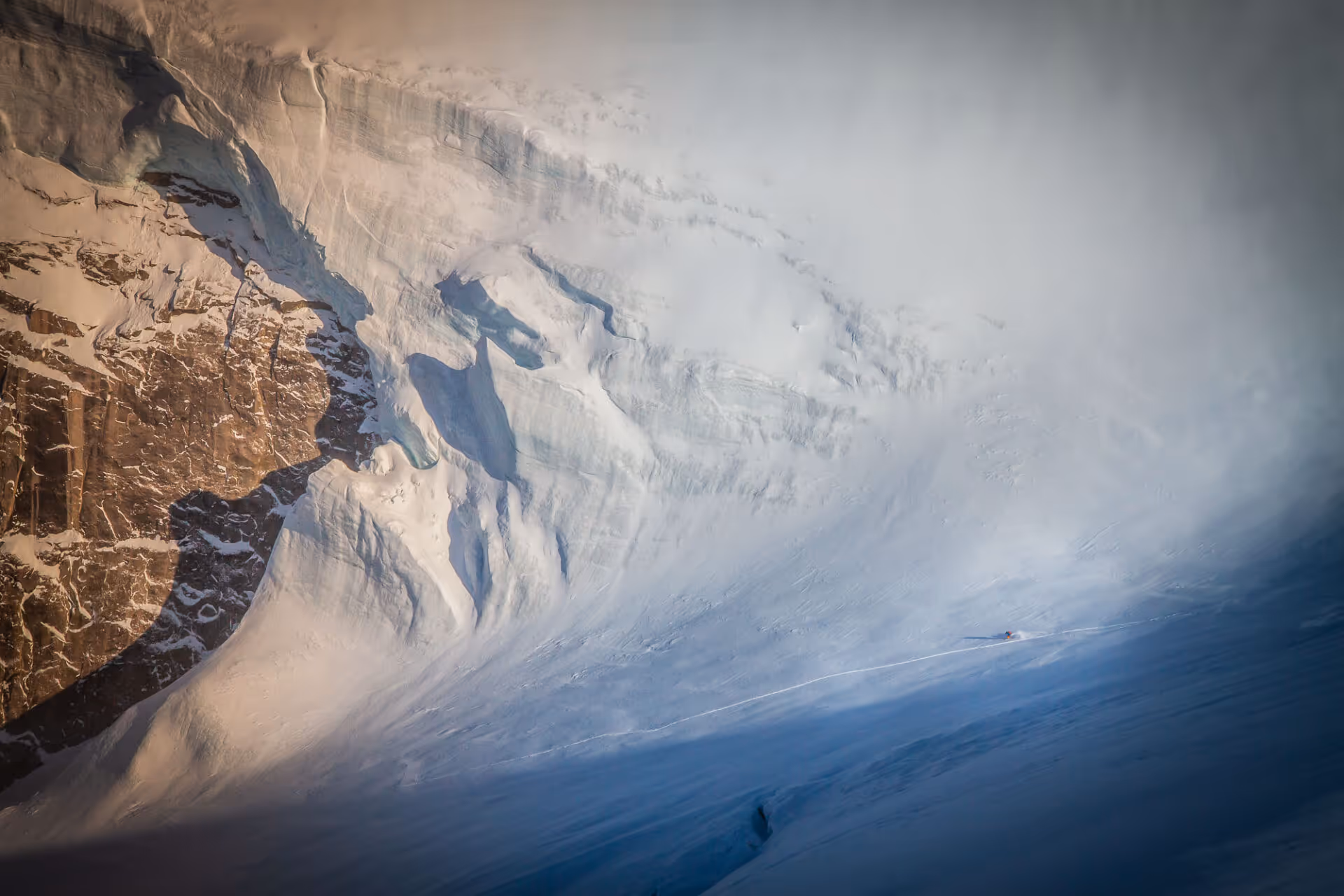
Lyngen, Norway Ski and Sail Trip
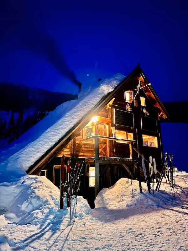
Burnie Glacier Chalet Feb 28-March 7, 2025 Trip Report
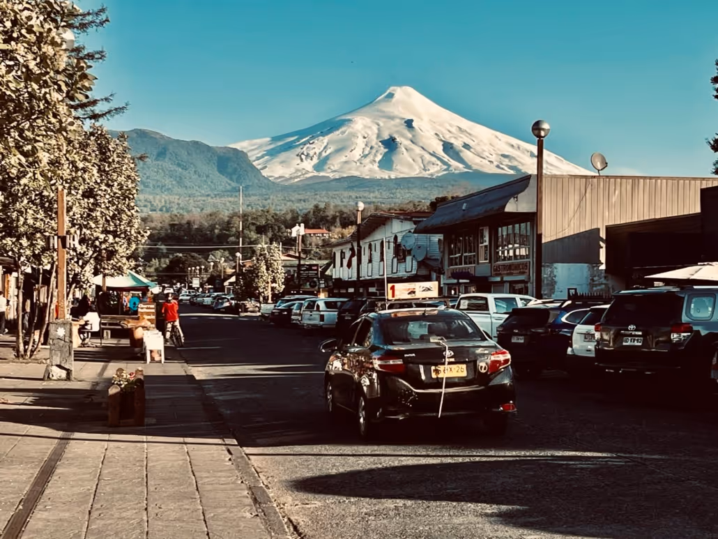
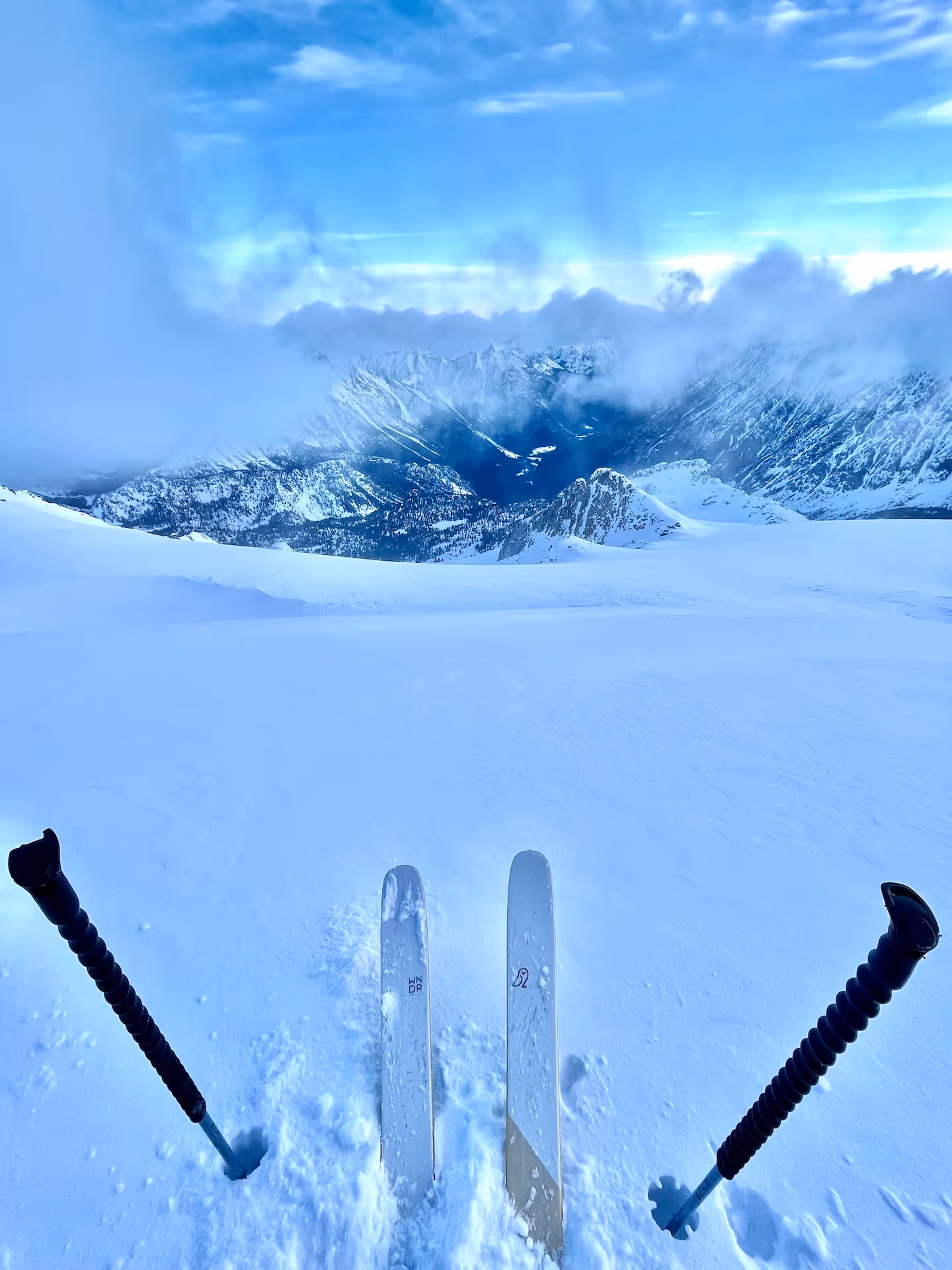
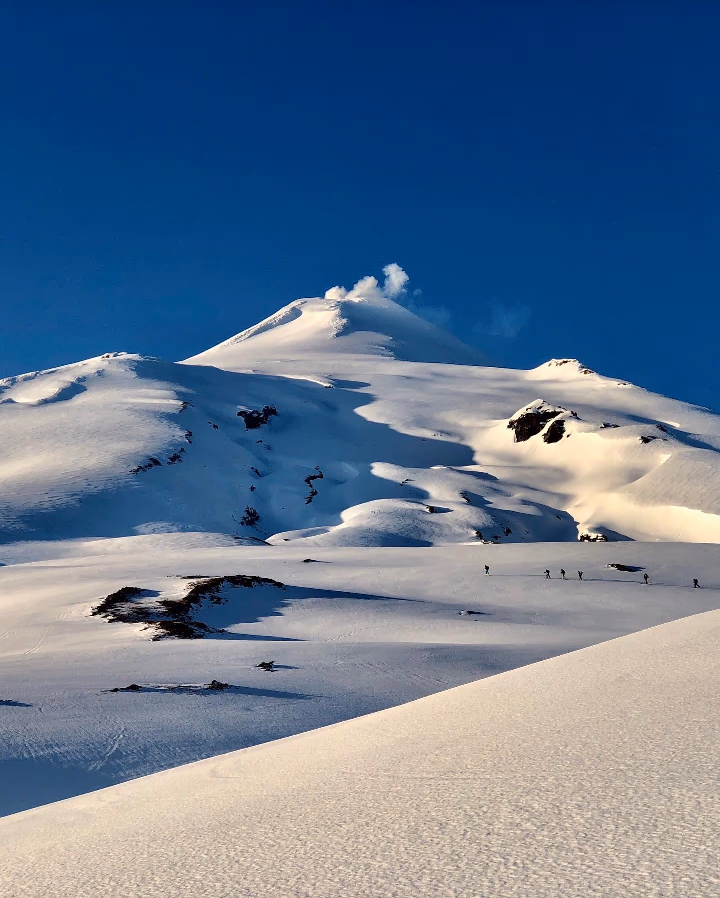
Ski Touring in Chile
Valhalla Ski Traverse
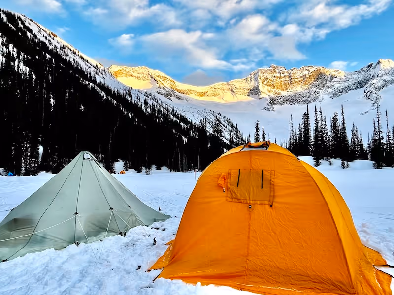
A Backcountry Ski Basecamp
Asulkan Cabin Trip
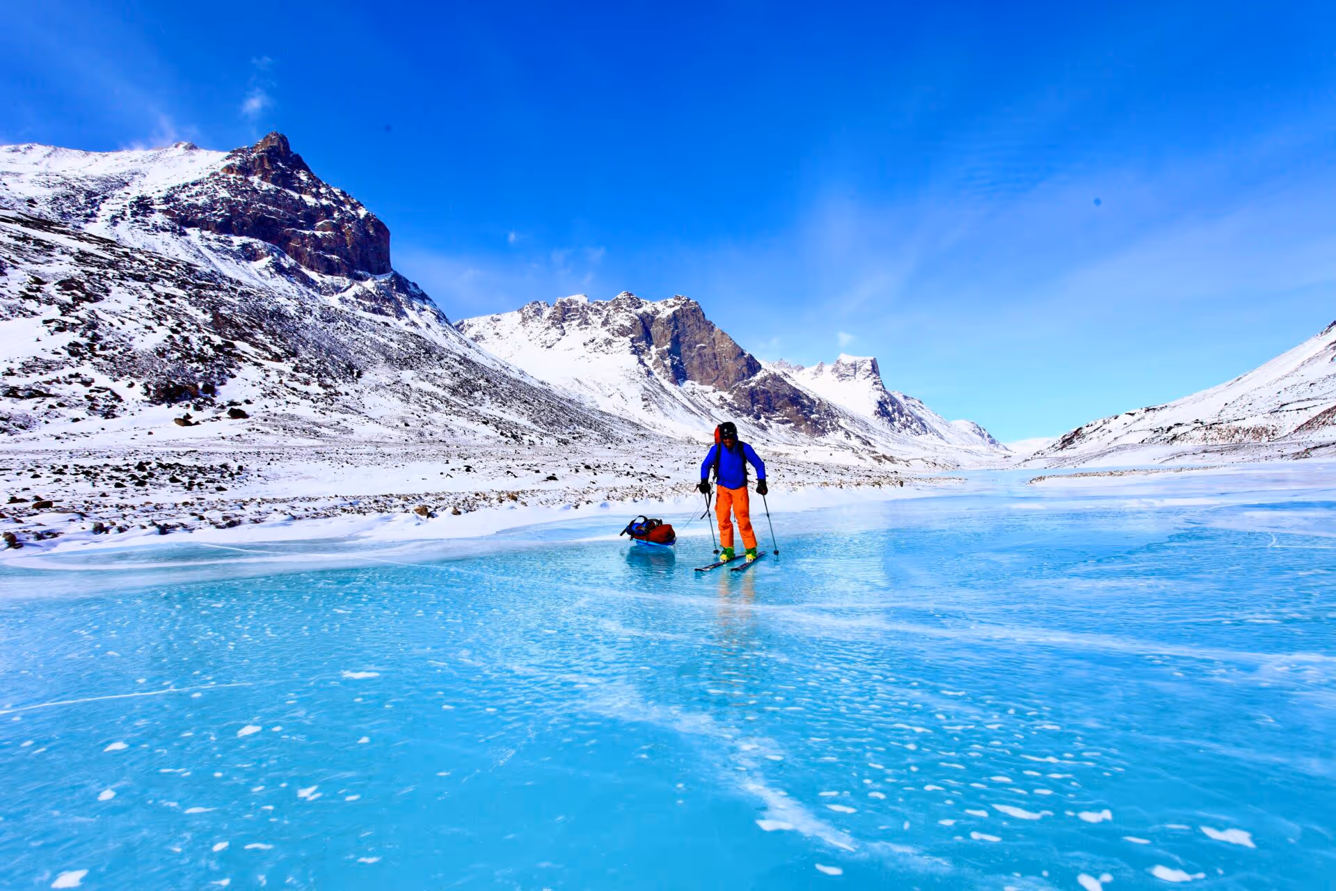
Auyuittuq Ski Traverse
The Gold Range Traverse
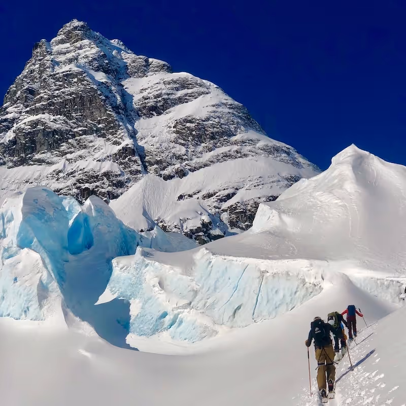
Ski Mountaineering Basecamp in the Bugaboos
Kokanee Glacier Traverse
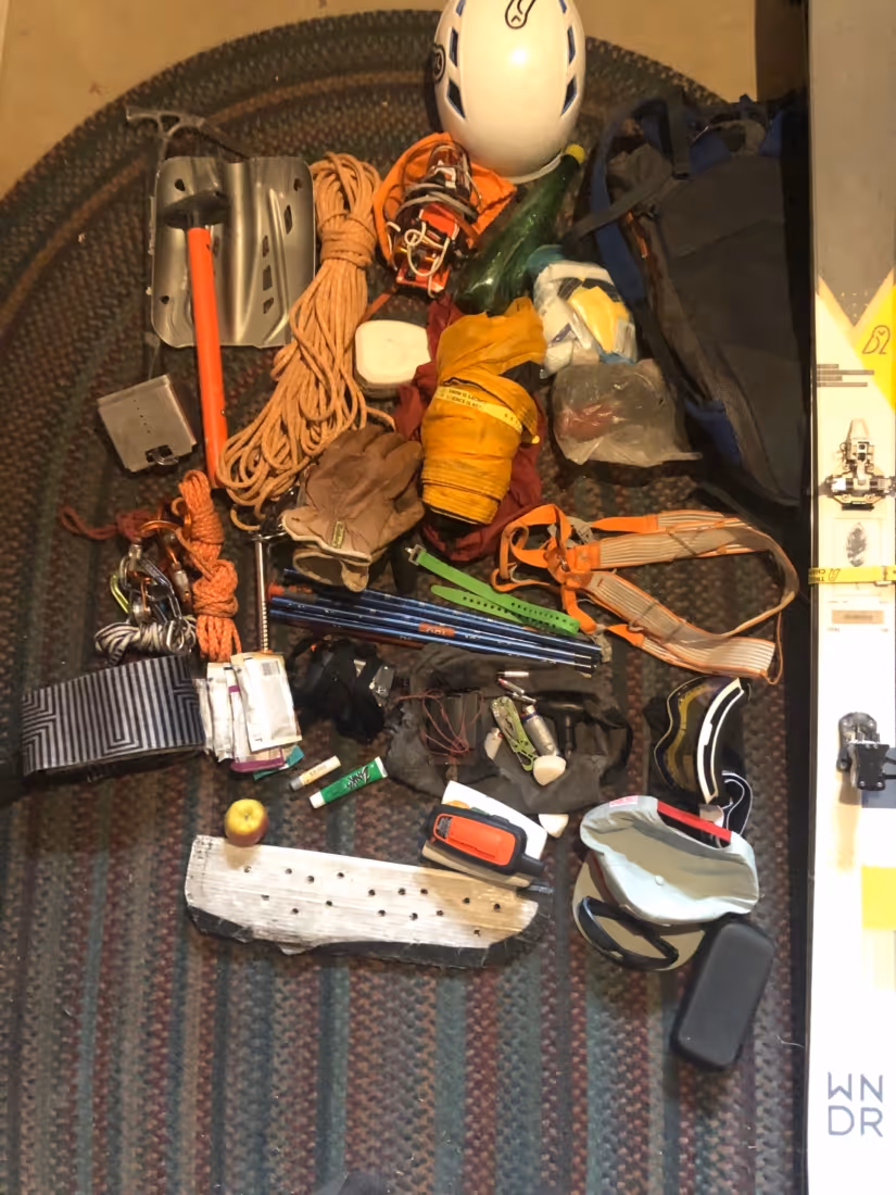
How to pack for a ski mountaineering trip In Chile
The Valhalla Circumnavigation
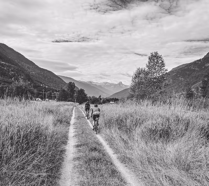
Wilson Creek Gravel Ride
Kootenay Gravel Biking
Lemon Creek Gravel Ride
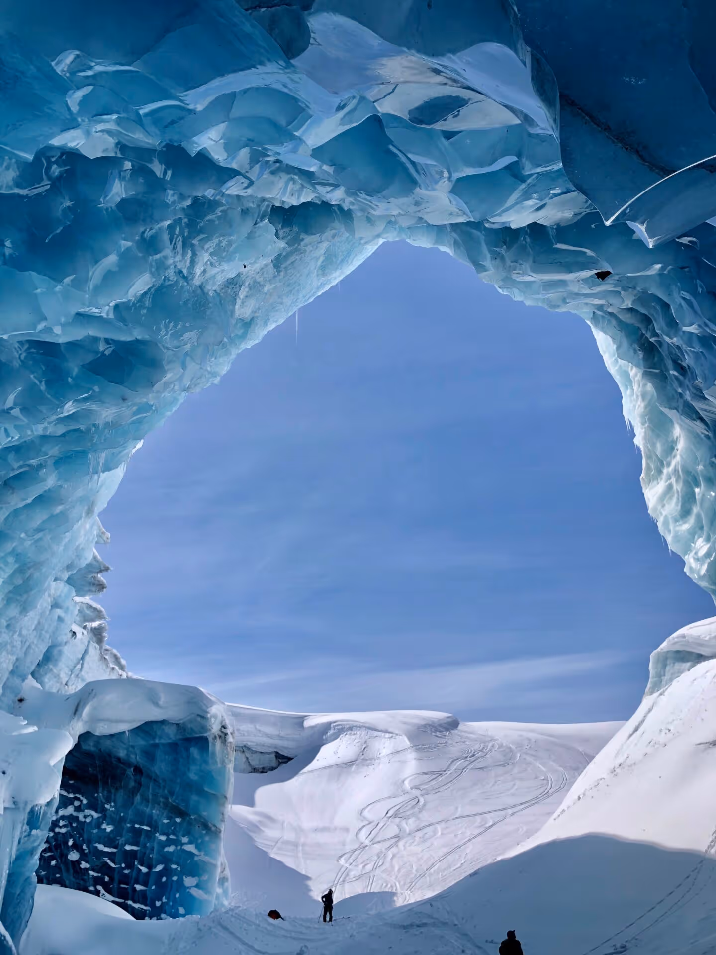
The Icefall Traverse
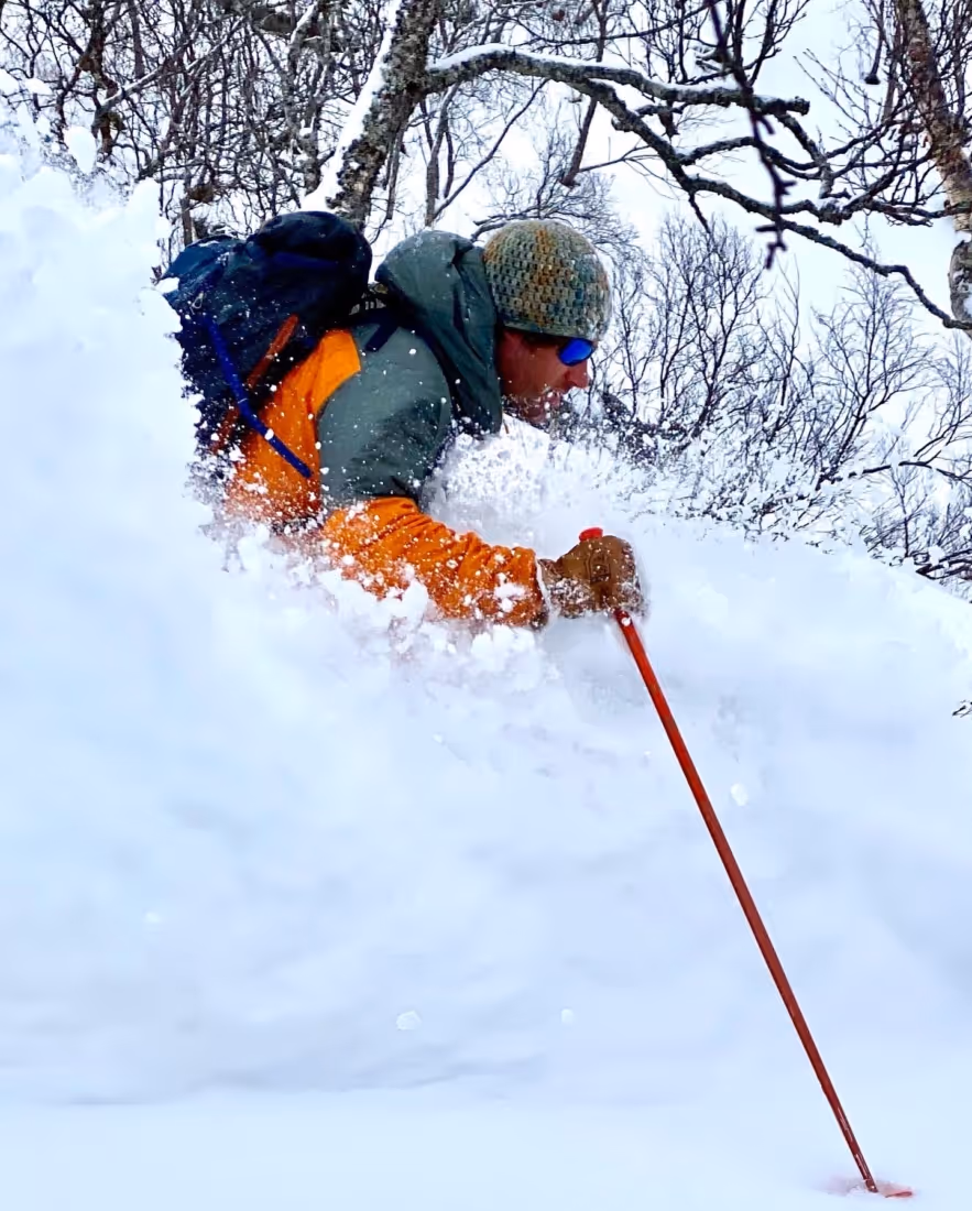
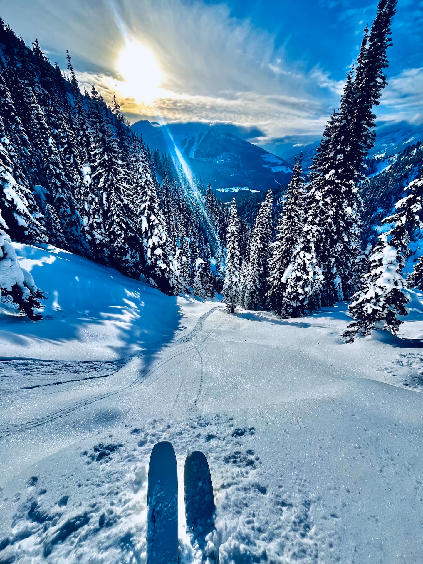
Backcountry Ski Lofoten
Castor Peak Ski Tour
Youngs Peak Traverse
Wisdom Tooth Ski Tour Kicking Horse Slackcountry
Cathedral Peak Ski Tour
Lilly-Dome Traverse Ski Tour
Perley Rock Ski Tour
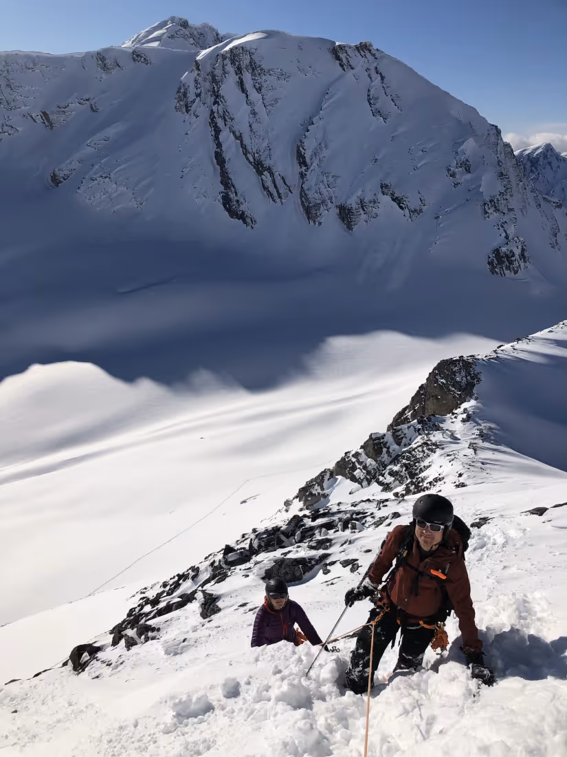
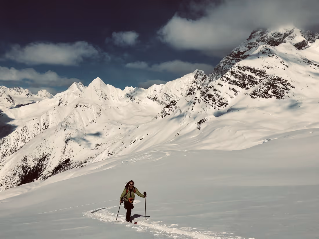
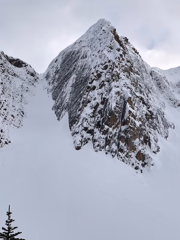
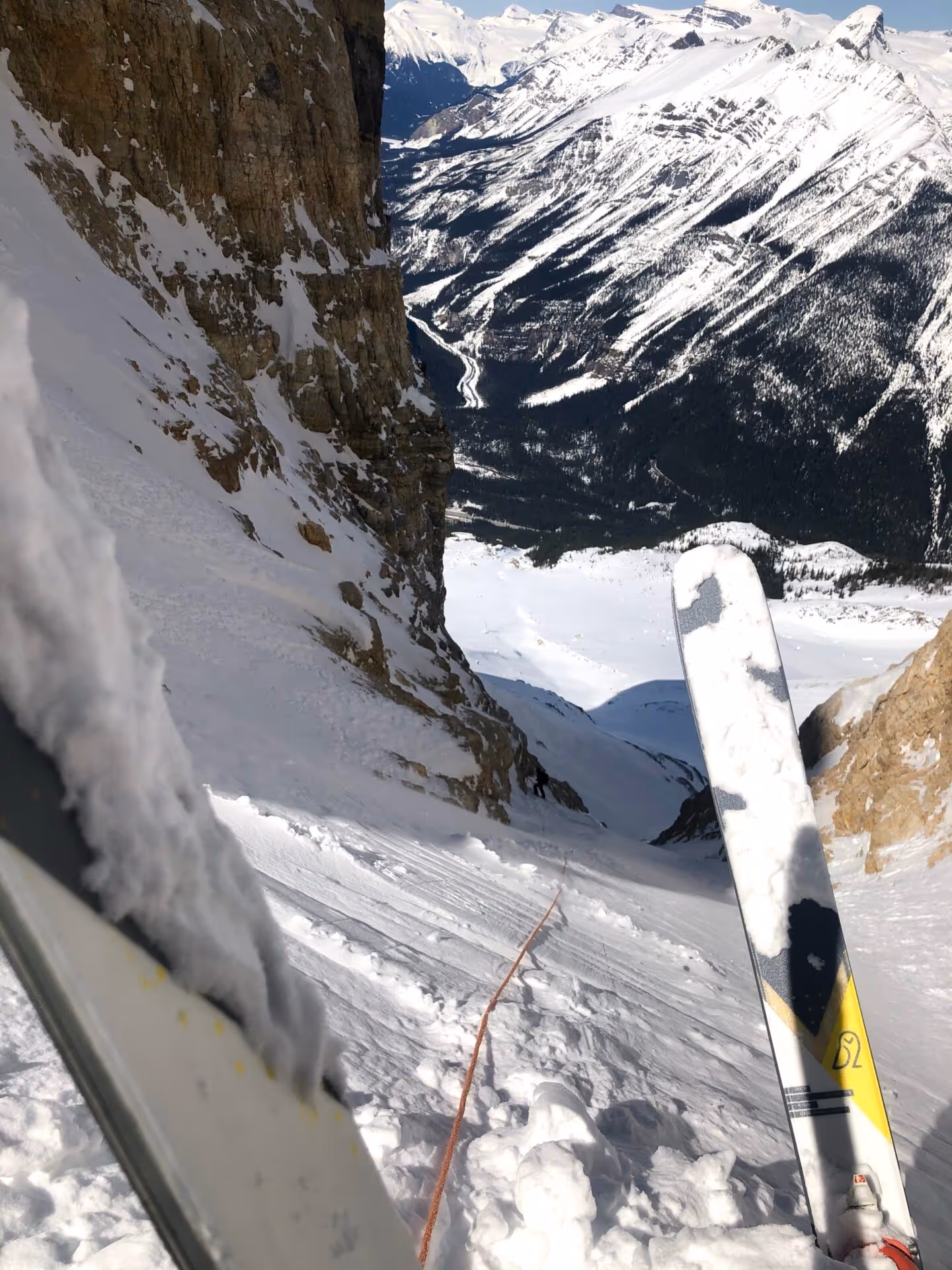
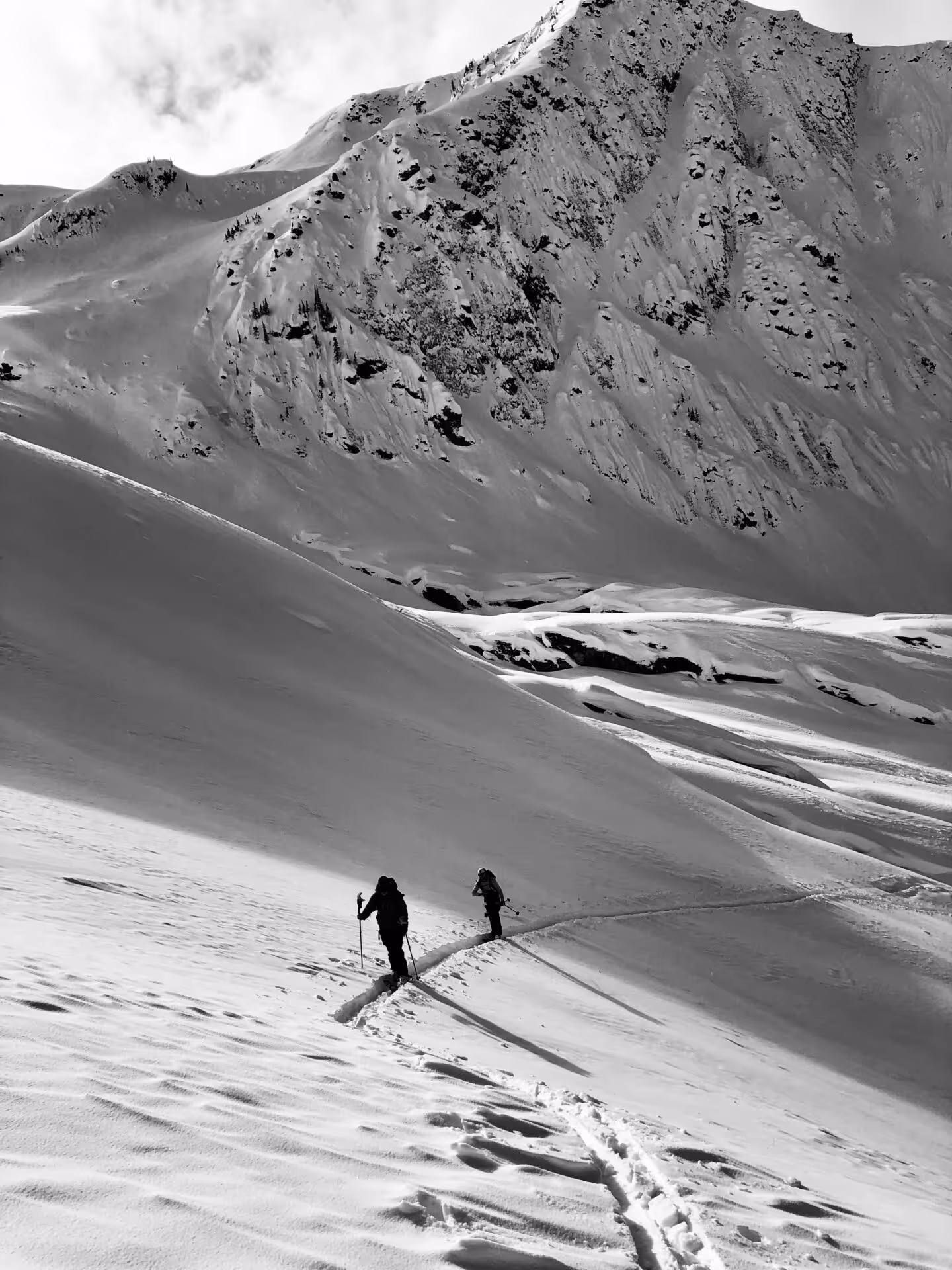
Canadian Rockies Ski Mountaineering
Valhalla Backcountry Skiing
Tantalus Range Basecamp
Reco Peak Mountain Bike Ride
Silvercup Ridge Mountain Bike Ride
Finnmark Ski and Sail Trip
Avalanche Transceiver Interference
ibex Wool Aire Hoodie Review
Edelrid Swift Protect Pro Dry 8.9mm Rope Review
Raide TourTech Bib Review
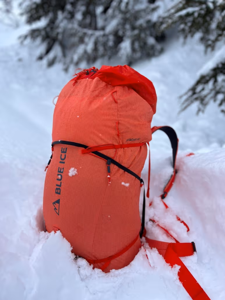
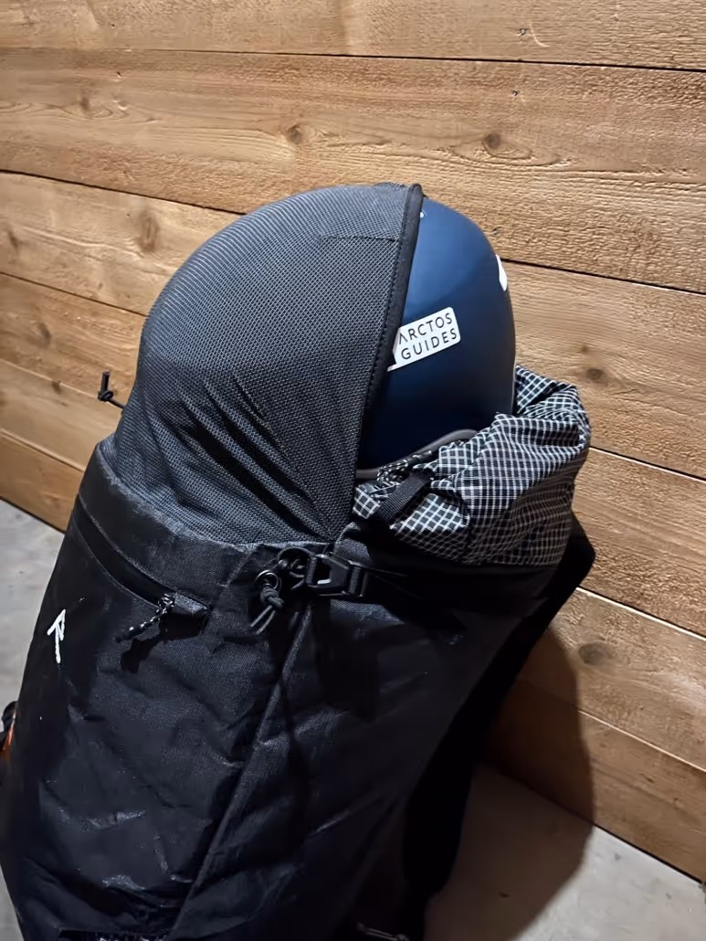
Blue Ice Stache 90l Pack Review
Raide LF 40L Review
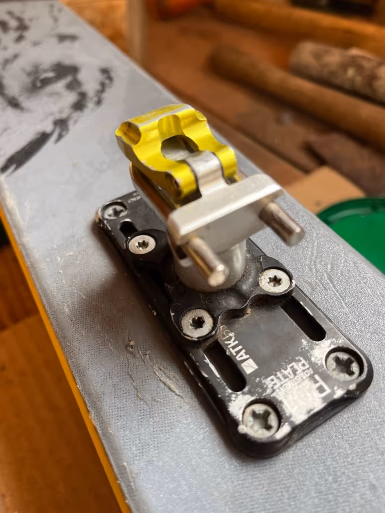
ATK Trofeo Binding Review
How to pack for backcountry ski mountaineering
BC Backcountry Lodge Review
The Valhalla-Ruby Triple Crown
Valhalla/Ruby Range Gravel Sessions
The Three Range Route
Glacier Creek Gravel Ride
Slocan Valley Rail Trail
Slocan Gravel Biking
How to Prepare for Your Backcountry Ski Basecamp Adventure
How to Prepare for a Crevasse Rescue Course
Nelson Backcountry Skiing
Backcountry Skiing in Rogers Pass
Backcountry Lodge Trip Packing List
Learn More
Get expedition updates
Newsletter Sign Up Here
Certified Guides
ACMG and AMGA certifications. Partnerships with the best equipment makers.
About